Imagine slipping beneath the surface without ever leaving your yacht. With a yacht charter underwater drone, you can peer into coral gardens, drift through shipwreck corridors and capture 4K video of marine life in real time. Gone are the days when exploring below the waterline meant cumbersome scuba gear or risky free-dives. Modern underwater drones turn every charter into an oceanographic adventure—no diving certification required.
What an Underwater Drone Does
An underwater drone (sometimes called an ROV, or remotely operated vehicle) is a compact, buoyant craft equipped with:
- High-definition cameras that stream live video straight to your helm or tender monitor
- Stabilized gimbals for silky-smooth footage, even in mild currents
- Adjustable lights to illuminate reefs, wrecks and caverns as daylight fades
- Depth sensors and sonar that map the seafloor in real time, revealing hidden pinnacles and drop-offs
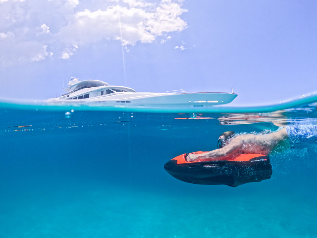
On a typical charter the drone plugs into a dedicated control station on deck. With a joystick in hand, you pilot the drone down to 100 feet (or more, depending on model) and watch live-feed footage instantly. Many units record full 4K video and high-resolution stills, so you can relive your underwater discoveries long after you’ve raised the anchor.
How to Pilot It Safely Around Reefs and Wrecks
Underwater drones open up new worlds—but piloting one takes finesse. Follow these best practices:
- Pre-dive checklist
- Verify battery levels and camera settings
- Test lights and thrusters in shallow water
- Secure loose lines and clear the swim platform
- Mind your speed
- Start slowly: 0.5–1 knot of forward thrust is plenty to explore reefs without kicking up silt
- Use short bursts when you need to reposition, then hover to examine details
- Maintain a safe distance
- Keep at least 3–5 feet from coral to prevent damage
- In wrecks, avoid tight squeezes unless your drone is specifically rated for confined spaces
- Watch your angles
- Tilt the camera down when approaching the seafloor to avoid collisions
- Pan slowly to let your gimbals stabilize—no sudden jerks
- Use tether floats
- A floating line keeps your drone from drifting into stronger currents
- Mark the tether’s free end clearly so the crew can manage slack
By following these guidelines, you’ll minimize the risk of accidentally damaging sensitive habitats or losing your drone to an unseen current.
Top Sites to Explore
The BVIs and surrounding charter regions offer spectacular underwater terrain. Here are some must-visit dive points:
- Treasure Caves, Norman Island
Drift along the walls of towering caverns once said to hold pirate loot. Schools of jacks and snappers swirl overhead. - Wreck of the Rhone, Salt Island
This 19th-century British mail steamer lies on its port side in 60 feet of water. The drone’s live-feed makes it easy to navigate around boilers and masts. - Coral Pinnacles, Tobago Cays
A cluster of pinnacles rising from the sand lets you hover over a living reef teeming with parrotfish, angelfish and hawksbill turtles. - The Indians, Anegada
Pristine coral heads just below the surface; perfect for mapping with sonar and capturing ultra-wide reef panoramas. - Bimini Road, Bahamas
A mysterious series of limestone blocks in shallow water. Some speculate they’re remnants of Atlantis—your drone can give you a closer look without snorkelers disturbing the site. - Marine Parks (e.g., Virgin Islands National Park)
Protected zones often boast clear water and healthy reefs. Coordinate with park authorities for approved dive times and zones.
Crew-Guided Demos and Data Capture Tips
Most charters that include an underwater drone offer a crew-led primer. During your first session:
- Watch the demo
The drone specialist will show you basic controls—forward, reverse, yaw and tilt—and how to switch lights on and off. - Record key points
Use the “bookmark” function on your controller to flag interesting moments (a hidden moray eel or an octopus den) so you can review them later. - Pilot in pairs
Have one person focus on navigation and another on camera framing. Two eyes catch more details. - Exporting footage
After the dive, connect the drone’s SD card to your onboard system and back up footage immediately. Many yachts now offer seamless Wi-Fi transfers to your tablet or phone so you can edit clips on deck. - Data mapping
If your drone feeds GPS coordinates or sonar returns, import them into chartplotter overlays. You’ll build a custom map of wrecks, bommies and dive routes to share with future guests.